By Abebe Mengaw (PhD), Girma Senbeta, Solomon Yilma and Yeshewa Masresha
Sustainable landscape governance is achieved through empowered professionals, inclusive planning processes, and sound evidence-based decision-making. Recognizing this need, the GOPA MetaMeta Participatory Integrated Land Use Planning (PILUP) Project, implemented under the GIZ Land Governance -III (LaGo – III) Project, is delivering an intensive capacity-building training on Critical Landscape-based Participatory Integrated Land Use Planning (CLS-PILUP) across three regions of Ethiopia: Sidama, Benishangul-Gumuz, and Central Ethiopia. As one of the major deliverables of the project, capacity building training is designed to strengthen the technical and facilitation capacities of regional and local experts who will participate in PILUP in Ethiopia’s most environmentally and socially significant landscapes.
The capacity building training is unique as it integrates the Ministry of Agriculture’s Integrated Local Level Participatory Land Use Planning (ILLPLUP) Framework with a critical landscape approach, gender-transformative planning, conflict-sensitive land governance, GIS and remote sensing technologies, and community-driven participatory planning. The goal is to equip practitioners with the knowledge, practical skills, and confidence needed to prepare scientifically sound, socially inclusive, environmentally sustainable, and legally compliant land use plans that support resilient landscapes and thriving communities.
The training is structured in three complementary pillars, each carefully designed to build both conceptual understanding and practical competence. The first pillar focuses on the conceptual and policy foundations of Participatory Integrated Land Use Planning. Participants explore the legal and institutional framework for PILUP, methods for identifying critical landscapes, Participatory Rural Appraisal (PRA), gender-responsive planning, land capability and suitability assessment, conflict-sensitive planning, scenario development, and monitoring and evaluation. This component provides the strategic perspective required for integrated and inclusive land governance.
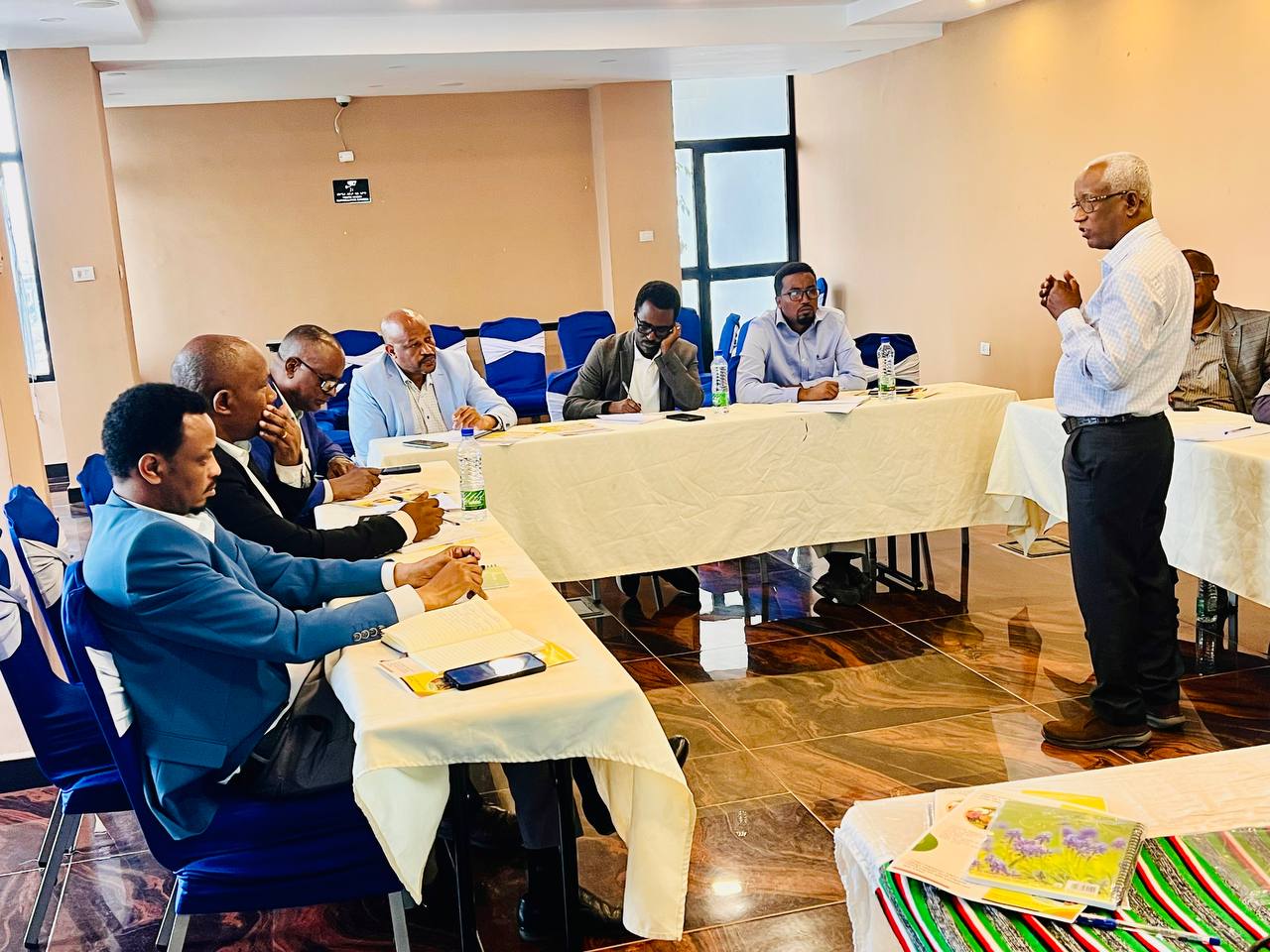
The second pillar equips participants with cutting-edge geospatial skills using QGIS, ArcGIS, and Google Earth Engine (GEE). Through extensive practical sessions, trainees learn to prepare and manage biophysical datasets, develop geodatabases, perform spatial analyses, conduct land capability and land suitability assessments, and produce high-quality thematic maps that support evidence-based planning and decision-making processes.
The third pillar recognizes that successful land use planning extends beyond technical expertise. It strengthens participants’ competencies in communication, awareness raising, stakeholder engagement, facilitation, documentation, and community mobilization, which are critical skills for ensuring that planning processes are participatory, transparent, and locally owned.
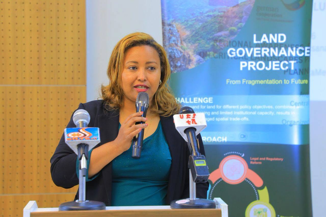
The CLS-PILUP training embraces an adult-learning and participatory training philosophy where learning is driven by active engagement rather than passive instruction. Participants work through interactive presentations, facilitated discussions, practical demonstrations, role plays, case studies, brainstorming sessions, storytelling, reflection exercises, participatory mapping, and extensive hands-on GIS practical exercises. This highly interactive methodology encourages critical thinking, collaboration, peer learning, and practical problem-solving while allowing participants to immediately apply newly acquired knowledge and skills to real-world planning scenarios.
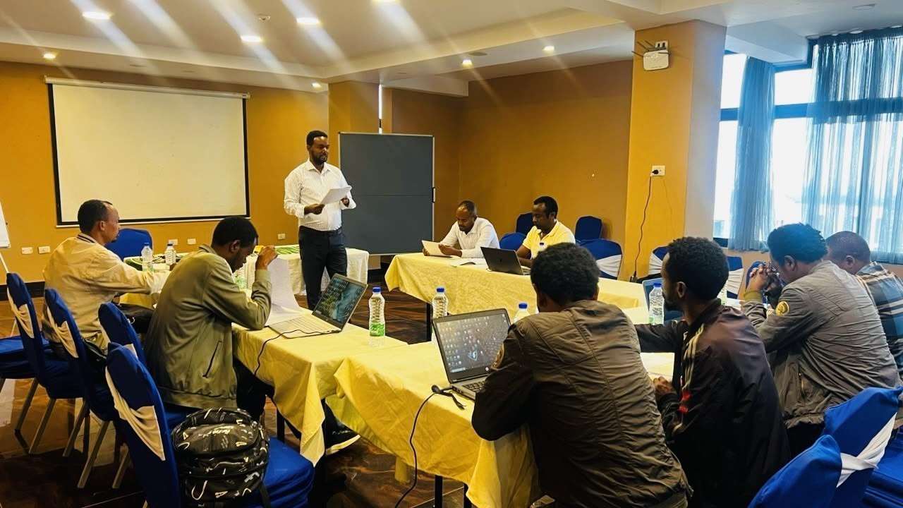
The training has already demonstrated remarkable progress. The first session was successfully conducted in Sidama Region from 15-23 July 2026, benefiting 26 technical experts. This was followed by a second training in Benishangul-Gumuz Region from 27 July to 4 August 2026, where 46 regional and local professionals strengthened their competencies in CLS-PILUP implementation. The journey continued with the Central Ethiopia Regional State, where training activities will be conducted across two critical landscape areas from 10 August to 2 September 2026.
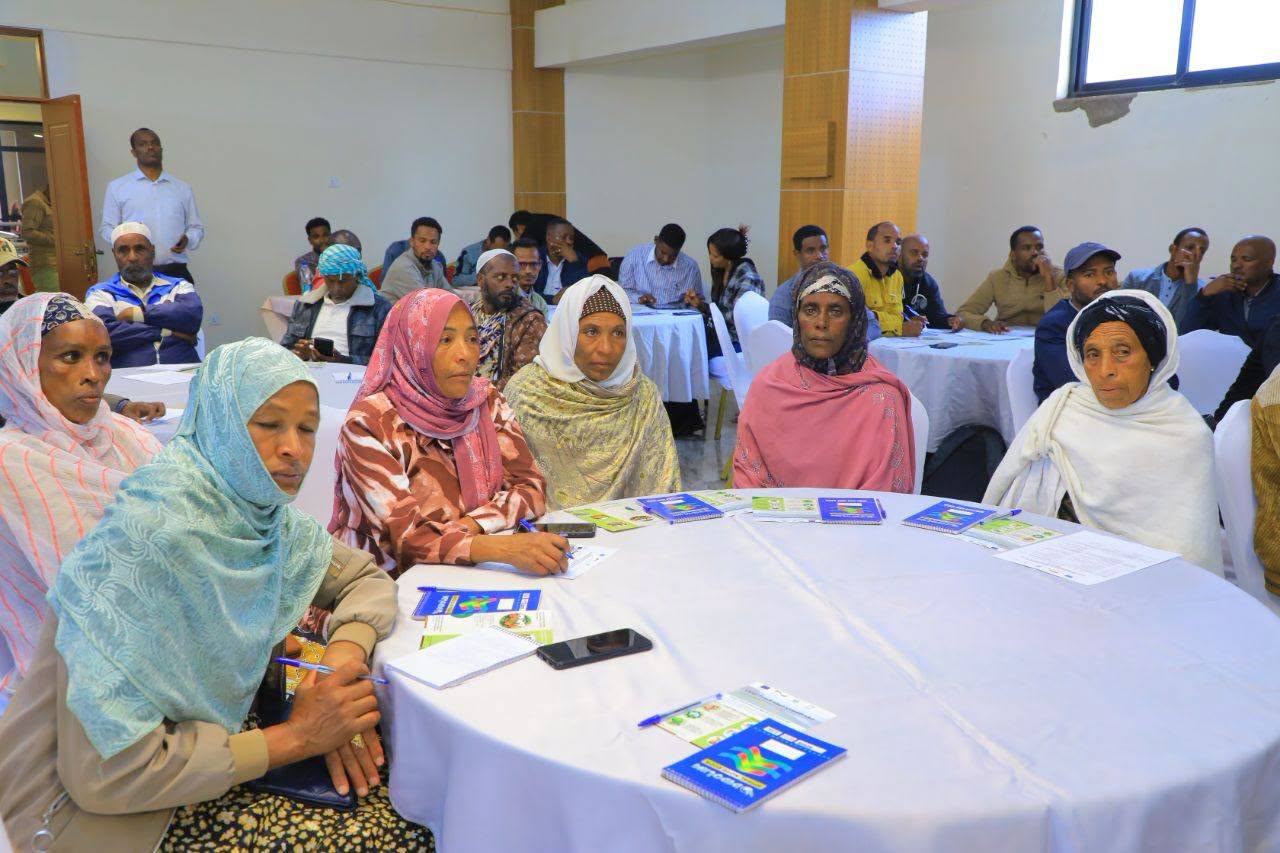
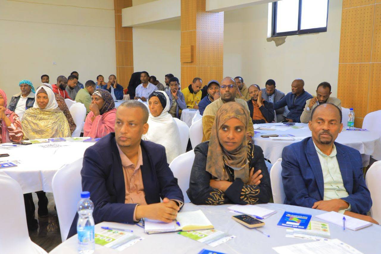
The importance of the training has been reflected in the strong commitment shown by regional leadership. Both the opening and closing events have been officiated by Regional Land Administration Bureau Heads, GIZ representatives, MetaMeta Country Director, Project Team Leader, and other senior regional government officials, highlighting the strategic significance of participatory integrated land use planning for sustainable critical landscape management. All the opening events were also covered by the respective regional media.
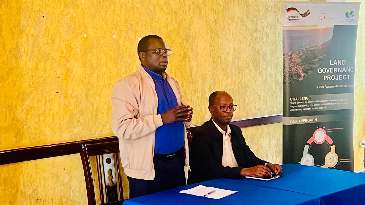
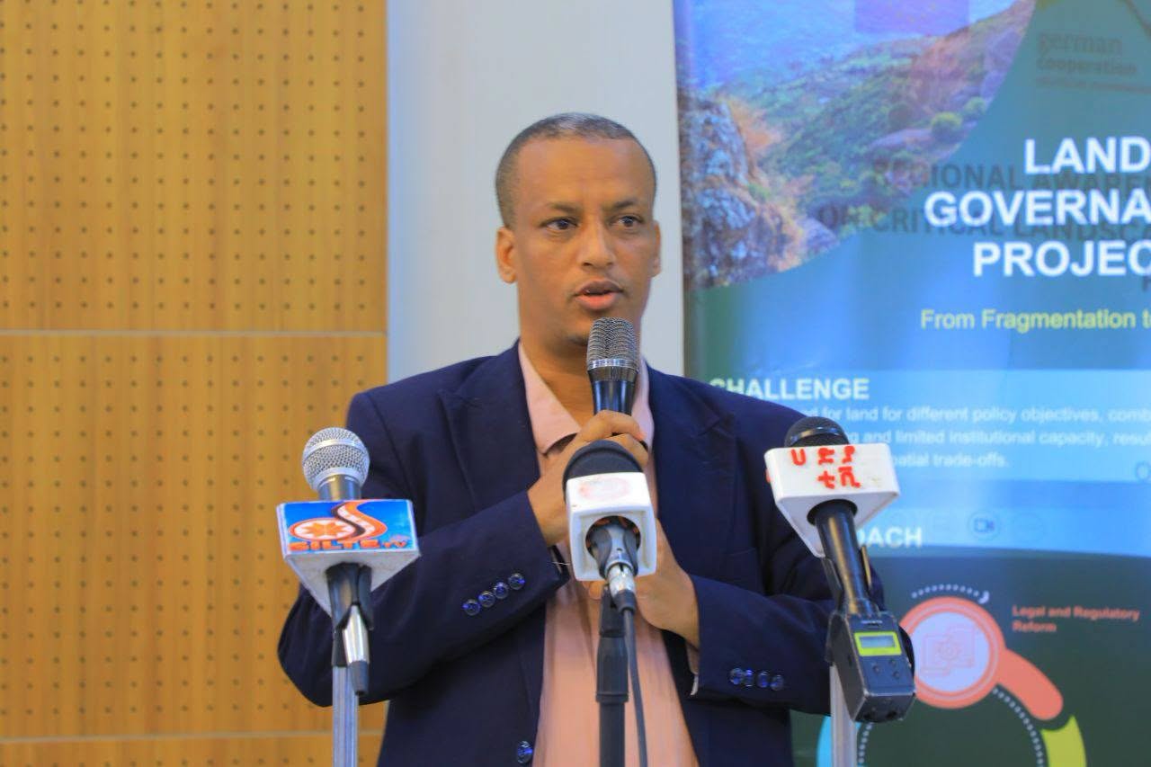
Investing in People and Transforming Landscapes
In general, this capacity building training is about investing in people who will shape the future of Ethiopia’s landscapes. By the end of the capacity building program, participants are expected to become competent CLS-PILUP practitioners capable of facilitating, implementing, and monitoring participatory land use planning processes. They leave the training with strengthened expertise in land use planning, GIS and remote sensing applications, gender-responsive facilitation, stakeholder engagement, communication, documentation, adaptive land governance, and community mobilization.