Posted by Frank van Steenbergen
August 14, 2013

Using water as defense, drowning the land of 400,000 people, destroying villages and farms in the Netherlands, all of this to slow down the onward movement of the Russian Army.
It was 1952, Cold War time. An area 126 kilometres long and 5 kilometres wide, all along the Yssel, the third largest river in the Netherlands, was made ready to be sacrificed to slow down a possible attack by the Red Army. The area would be turned into a wide flowing river with all water from the Rhine river – the largest river – diverted into the Yssel. Here is a simulation: http://ijssellinie.nl/films.html
This was NATO’s grand design, the Yssel Linie Water Defence. Weirs were remodelled, special inundation sluices were constructed in the river dykes, and bunkers were constructed at strategic places in the inundation area: for control posts, field hospitals, and soldier units. It was still an era of poverty: some of the fortifications were made by casting old tanks in concrete.

 For more than ten years, utter secrecy prevailed. There were quarterly exercises. The weirs could be closed with a caisson, and ships could be sunk downstream to raise water levels. Some dike sections would have been blown up or lowered by excavation. The Army protected strategic assets in the inundation area with bunkers, and soldiers would have taken refuge on levees. Flood plain forests were kept intact, so they could be loaded with mines and turned into boobytraps. In 1962, the level of the Ysselmeer (the inland lake of the Netherlands) was already increased to make the Yssel river deeper.
When West Germany joined NATO, the Yssellinie lost its importance, and the Weser River was singled out as the new NATO line of water defence. The Ysselinie plan was not without flaws – because if it had been operated, the Allied Force would have been squeezed between the inundated area and the river, and the Northeast of the country would have been given up. Water Boards – governed by farmers – did not in the least like the inundation plan and for a long time refused to cooperate. It was the Cuban crisis that was used to make them fall in line.
 It was not the first time inundation areas were used as a means of defense in the Netherlands. In the nineteenth century, the West-East ‘Nieuwe Hollandse Water Linie’ was systematically developed to stop northward hostile movement. Like the Yssel Linie, this water defense system was also never used.
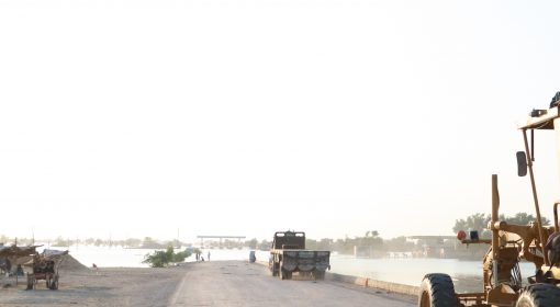
Are these inundation lines something of the past? They are not. In what arguably continues to be the world’s most volatile border – that between India and Pakistan – irrigation and drainage systems have a dual purpose. There is, for instance, the SCARP 6 Project near Sadiqabad, where Pakistan is at it is most narrow, where immense evaporation ponds have been created in the middle of the desert. Saline water is pumped from the deep to reduce waterlogging but also to create a permanent obstacle against the Indian army. Then, further south, the Left Bank Outfall Drain, the world’s largest drainage system, was developed with military objectives in mind as well. Bridges across the drains, for instance, were made just wide enough to let Pakistan’s tanks pass and too narrow for the slightly larger Indian tanks. Then there was the Tidal Link canal – the seaward outlet of this large drainage system. It was constructed exactly parallel to the Indian border to thwart an onward surge of the Indian army.
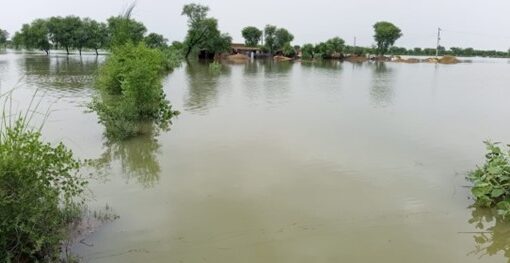
Unfortunately, the direction of the Tidal Link was also that of the monsoon storms, and over the years, it scoured out. As a result, the tidal effect moved 50 kilometres inland. This caused saline water ingression at high tide and wreaked ecological havoc upon the fragile brackish wetlands (dhands) in the coastal flatlands in one of the world’s poorest areas, Lower Sindh.
{jcomments on}