Drone-based Monitoring and Decision Support Systems
What and How
Improved methods of monitoring water productivity utilizing drones.
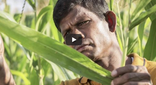
The case in point is the ThirdEye project in Mozambique which provides information (yield, soil moisture, and water productivity data) to more than 8000 farmers.
With more and better data, farmers are able to take better decisions with regards to cropping, irrigation, inputs, etc. Water productivity over plots of farmers utilizing ThirdEye data has improved considerably compared to control plots.
Why
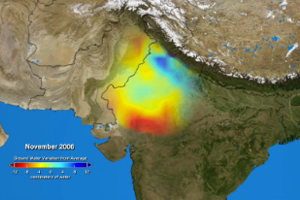
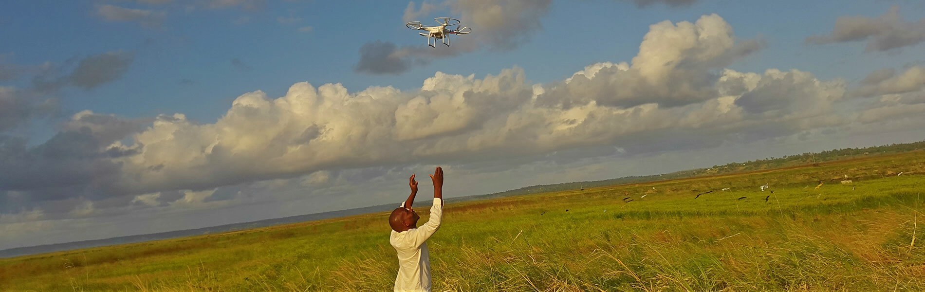
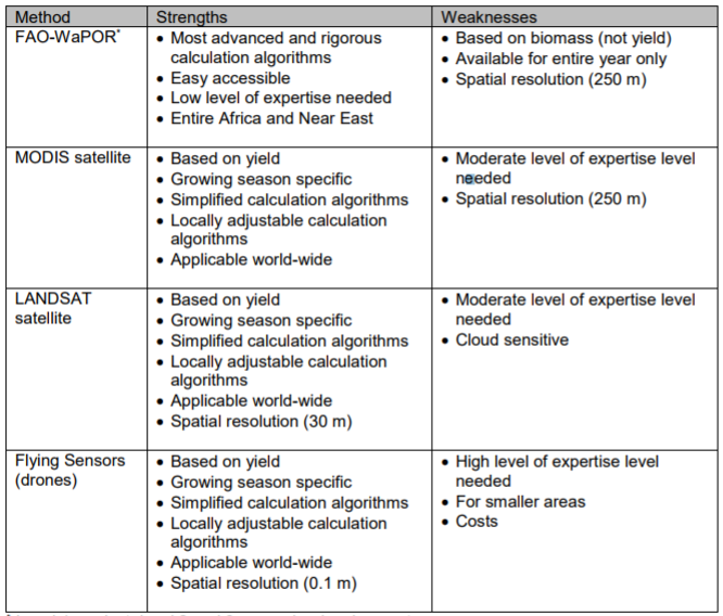
Drones can map, monitor, and cater to farmers at a very local level. They enable for more frequent observations, allow for locally adjustable calculation algorithms, and provide very high spatial resolution (~0.1 m in the ThirdEye project). This compares favorably to satellite data, which requires high level of expertise to interpret and analyse; are based on fewer observations over a period of time; and offer a lower resolution (~250 m by MODIS satellite and FAO-WaPOR database; ~30 m by LANDSAT).
Thus, drones can provide a stream of data that is a useful supplement to existing data sources.
Who
- Future Water: http://www.futurewater.eu/
More information