Urbanisation and flood risks: understanding the fabric and governance of Delta cities
May 9th, 2017
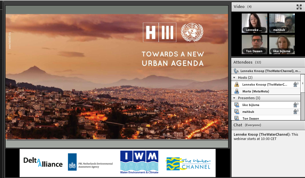
Speakers
- Like Bijlsma, PBL-Netherlands Environmental Assessment Agency
- Ton Dassen, PBL-Netherlands Environmental Assessment Agency
- S M Mahbubur Rahman, Institute of Water Modelling Bangladesh
Description
Delta regions across the world are rich in natural resources and economic opportunities. As a result, they have historically been home to dense, growing urban communities. The process of urbanization is often rapid and results in formal and informal urban fabric. Planned and unplanned urbanization processes both affect delta infrastructures. A variety of institutions and stakeholders generate these simultaneous processes.
What is the relationship between formal-informal and planned-unplanned urbanization processes in the world’s deltas? How do they affect the urban water system and the allocation of flood risks? How does the physical battle for space relate to various stakeholders and their financial, executive and judicial capacities? This webinar discussed some of these interdependencies in Baranquilla, Beira and Ho Chi Minh City.
Download the presentations
- Urbanisation and Flood Risks – Presentation of Like Bijlsma and Ton Dassen of PBL-Netherlands Environmental Assessment Agency
- Dhaka City: The Present and the Future – Presentation of S M Mahbubur Rahman of Institute of Water Modelling Bangladesh
More questions to Mahbubur Rahman following the Q&A session during the webinar:
Q: Can you explain a bit more precisely how you modeled urban growth? Which methods and variables were used? Can you make a direct relation with present and future flooded areas?
A: The software used for Urban Growth Modelling is Dinimica-Ego
Input data required are: 1) Population projections; 2) GDP projections; 3) Historical land use maps; 4) Proposed land use maps (including constraints to growth)
Based spatial analyses of the above input data, a Land Use Land Cover (LULC) transition rates matrix is developed.
The software used for Hydrodynamic model for flood simulation is MIKE Urban.
Input data required are: 1) Rainfall runoff from another model; 2) Digital elevation model; 3) Boundary water level and discharge data; 4) Pervious and impervious area for different socio-economic scenarios.
Various model scenarios are constructed, like
1) Landuse change due to different foreseen/planned socio-economic scenarios
2) Hydrological scenarios are selected based on specific interest, like rainfall or boundary conditions under climate change scenarios for 2050 or 2080 etc.
Q: This is very interesting research with a lot on local knowledge and historical data involved. How can you incorporate this knowledge in the strategic urban planning?
A: Local knowledge may be incorporated in-terms of landuse, infrastructure plans, operation of control structure etc.
Related Resources
- A plea for putting the issue of Urbanizing Deltas on the new urban agenda….
- Cities, water and climate. Global challenges and local stories in an urbanizing world. PBL presentation for UN habitat III, Quito 2016
This webinar is being organised under the auspices of Delta Alliance

in association with PBL- Netherlands Environmental Assessment Agency

{jcomments on}