by Frank van Steenbergen and Mohammed Ehsan Leghari
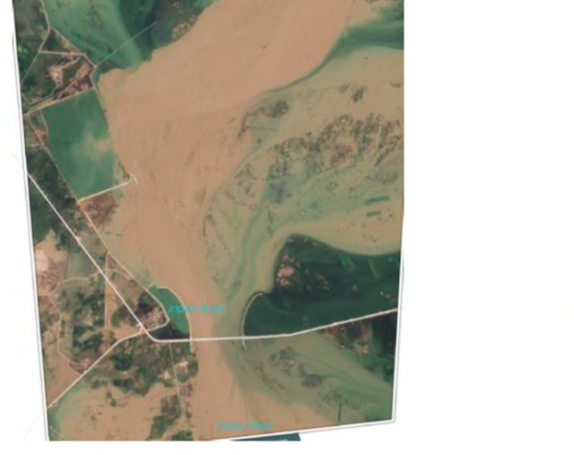
Bridge and approach curtailing the Indus River
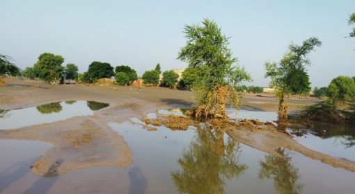
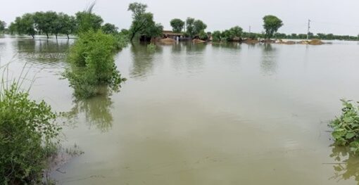
The bridges on the Indus are chokepoints. What was once a mighty river is now a curtailed Gulliver, straightjacketed by embankments, and suffocated by bridges. On a normal day it does not matter, but when there is a flood, the Indus is always at risk of dangerously bursting out of its seams.
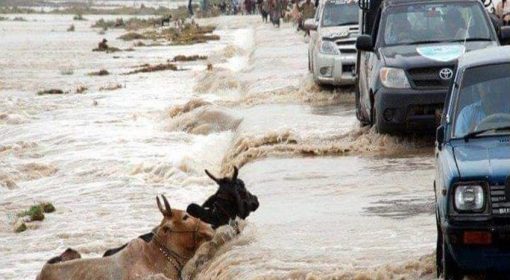
There are three type of floods – riverain, hill torrent and pluvial. Riverain floods originate in the Indus River itself, the 2010 mega-flood being the prime example. Hill torrents come from the mountain on the west of the river and pluvial from heavy local rainfall. Hill torrent floods can be transformed into riverain floods as well, as was the case in the recent 2022 mega-flood.
Why is this so critical? The bridges on the Indus have restricted the width of the river flood plains and undermined the capacity to evacuate flood peaks (see the table). The pass-through time of the flood surge has increased manifold, whilst the mass of flood water accumulates in the narrowed river. As the water ponds up at the bridges during floods, the embankments in the area receive tremendous pressure and become in danger of breaching too. The river choking has also led to land accretion in the river, further confining the river, and causing the riverbed to rise,
How serious is this? Very much. The Indus River in Sindh runs on a ridge – meaning that the bed level of the riverbed is higher than the adjacent land. This means that any major breaching of embankment in Sindh can come with devastating consequences, with water running wild over the adjacent land as the mighty river seeks to relocate itself.
The stranglehold by bridges remains largely unaddressed and is repeated in newly planned bridges. It is a governance issue and a planning issue. There is no coordination between the National Highways Authority and the Provincial Irrigation Department, and in general no one oversees maintaining and planning the river. There is no overall plan to deal with floods and align land and water development. Yet all this is very necessary as floods appear to come with shorter intervals in Pakistan (2010, 2011, 2012, 2016, 2020, 2022) and with higher peaks.
Bridges on Indus in Sindh with span and river width
| # | Name of Bridge | Structural width (span) (Km) | Width of Indus River (Km) |
| 1 | Sukkur bypass bridge (downstream of Sukkur Barrage) | 1.00 | 21.2 |
| 2 | Larkana-Khairpur | 1.16 | 15.7 |
| 3 | Dadu-Moro | 1.0 | 13.8 |
| 4 | Qazi Ahmed-Amri | 1.30 | 9.87 |
| 5 | Hyderabad Bypass bridge (downstream of Kotri Barrage) | 0.92 | 3.00 |
| 6 | Jhirk- Mula Katiar | 1.7 | 3.17 |
| 7 | Thatta- Sujawal (old) | 0.92 | 8.11 |
| 8 | Thatta- Sujawal (new) | 1.0 | 8.11 |
Source: Irrigation Department, Government of Sindh, and Book (in Sindhi) by Mr. Shafkat Hussain Wadho “Sindhu Nadi ji Beehak and Bodoon” (The Indus River’s path and Floods)- Sindhica publications 2018)
This documentation took place under the auspices of the Dutch Risk Reduction and Surge Support program (DRRS) of RVO, The Netherlands Enterprise Agency of the Dutch government.