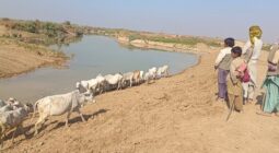
Catchments and floods: some evidence
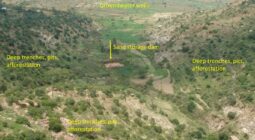
by Kifle Woldearegay and Frank van Steenbergen Mountainous regions generate floods, and these often cause huge economic, social and environmental … Continued
by Kifle Woldearegay and Frank van Steenbergen Mountainous regions generate floods, and these often cause huge economic, social and environmental … Continued
by Shubham Jain , Pratik Ranjan , Arpan Mondal Introduction Hedges in the Indian agriculture landscape have been widely known … Continued
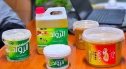
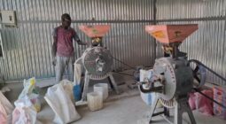
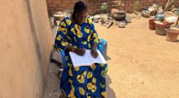
by Adjaratou Kosse Faye, reporter and Executive Director at Foroba Media SAS Across the world, scientists and innovators are turning … Continued
by Siddharth Mahajan I am a 3rd year BSc International Land and Water Management student and have written this article … Continued
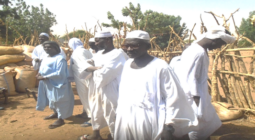
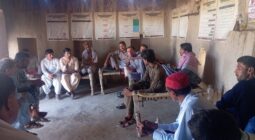
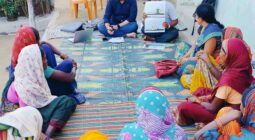
by Abdoulaye Ouedraogo, ZARE Aïda, Femke Van Woesik This blog is part of a dossier on locally-led adaptation, featuring insights and lessons … Continued
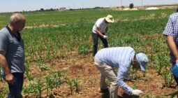
by Manzoor Ali, Salam Buzdar and Frank van Steenbergen Chickpeas have so much going for them. They are the right … Continued
by Arpan Mondal What if one small shift in the way we farm could solve multiple problems at once—improve nutrition, … Continued
by Salam Buzdar. Allah Bakhsh, Reinier Veldman and Frank van Steenbergen In the Kacchi Plains in Pakistan, the world’s largest … Continued
by Femke van Woesik (MetaMeta), Lan Thanh Ha (Researcher, Institute of Water Resources Planning (IWRP), Ministry of Agriculture and Environment … Continued
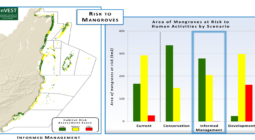
Postcard from Hingol National Park, in Balochistan, Pakistan. “This area is hyper arid and to regreen it is extremely challenging”, … Continued
MED4PEST aims to develop proven, effective Ecologically Based Rodent Management (EBRM) methods and products, which are readily integrated into local … Continued

By Abdoulaye Ouedraogo, Mathias Sorgo, Aida Zare, Femke van Woesik This blog is part of a dossier on locally-led adaptation, … Continued